
Mountain bike tour in Svaneti
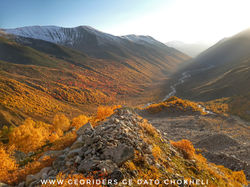
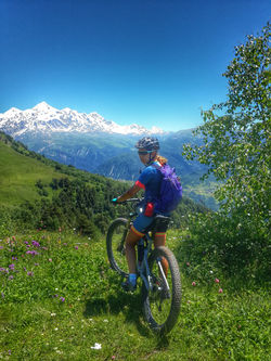
Situated on the southern slopes of the central Caucasus Mountains and surrounded by 3,000–5,200 meter peaks, Svaneti is the highest inhabited area in the Caucasus. Four of the 10 highest peaks of the Caucasus are located in the region. The highest mountain in Georgia, Mount Shkhara at 5,201 meters (17,059 feet), is located in the province. Mestia always been regarded as a major community of Zemo or Upper Svaneti province. It was formerly known as Seti. Despite its small size, the city for centuries was a major cultural center of Georgia and there are many medieval monuments. Such as churches and forts, included in a list of UNESCO.
Photo gallery
 |  |
|---|---|
 |  |
 |  |
 |  |
 |  |
 |  |
 |  |
 |  |
 |  |
 |  |
 |  |
 |  |
 |  |
 |  |
 |  |
 |  |
 |  |
 |  |
 |  |
 |  |
 |  |
 |  |
 |  |
 |  |
 |  |
 |  |
 |  |
 |  |
 |  |
 |  |
 |  |
 |
Mountain bike tour to Svaneti for 7 days
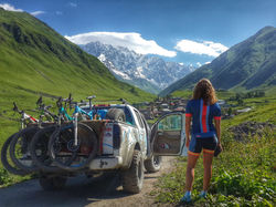
Day 1. Meeting at our bike store at Lisi Lake. We take our size bikes and helmets, our driver take us from Tbilisi to Svaneti, after 5h driving we are going to ride from Enguri dam to Khaishi via beautiful mountain views.
from Khaishi our driver take us to village Mazeri. Driving takes 1h and 30min.
Overnight in Mazeri in local nice guest house.
The riding takes 40km.
Climbing altitude gain is around 600 meters.
Track is 80% paved road and 20% is gravel.
Good for beginners and for intermediate riders.
Day 2. In the morning we are going to walk from Mazeri to Shdugra waterfall.
Walking distance both ways is 6km.
After walking tour we are going to ride bikes from Hiker hut to Mestia.
We are going to ride inside town and going to ride via old towers. After Mestia we are going to ride to Hatsvali mountain.
Overnight in beautiful guest house Heshkili huts.
The riding distance is around 40km.
Climbing altitude gain is around 800 meters.
Track is 80% paved road and 20% is gravel.
Good for beginners and for intermediate riders.
Day 3. In the morning we are going to ride from Heshkili huts to Zuruldi mountain via beautiful single track, we are going to cross amazing views and going to Ugviri pass. From Ugviri pass we are going to Mestia. From Mestia our driver take us back to Heshkili huts.
Overnight same guest house.
The riding distance is around 30km.
Climbing altitude gain is around 900 meters.
Track is 50% paved road and 50% . Single track.
Good for intermediate and Pro riders.
Day 4. In the morning we are going to drive from Heshkili huts to mountain Koruldi, from the view point of mountain Tskhakzagari we are going to ride bikes up to Koruldi lakes, from Koruldi lakes we are going to ride little bit up and last few hundred meters going to walk till Ushba view point.
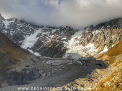
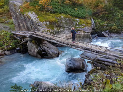
After riding back to Mestia, after Mestia we are going to ride till Chalaidi glacier. We leave bikes at rope bridge and going to walk to glacier and back, walking distance both ways is 4km.
after riding back to Mestia and our driver take us back to Heshkili huts.
Overnight in same guest house.
Climbing altitude gain is around 600 meters.
Track is 80% paved road and 20% is gravel.
Good for beginners and for intermediate riders.
Day 5. We wake up early morning and going to drive few kilometers up on mountains where from we have 65km downhill till the village Lentekhi. The bike path is double track with some technical sections, on this road beginners can be make downhill easy. The views is unforgettable on the way. The downhill speed is hight and the double track is mostly wet but the road is fun when you looking each other that your face is dirty and only teeth left white. After the ride we have possibilities to swimming in the river have a dinner and drive back in Tbilisi. Overnight in Tbilisi Hotel/Guest house and next day transfer in Tbilisi international Airport.
Copyright © Georiders 1999-2019


